Request:
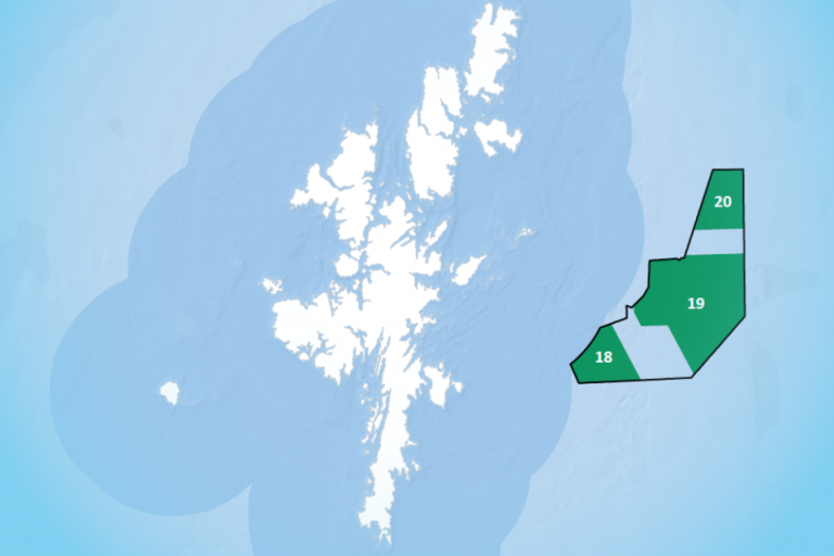
“The report 'The Land of Scotland and the Common Good - Report of the Land Reform Review Group', published in 2014, contained a map on page 49 - 'Fig. 5 Crown and non-crown owned foreshore in Scotland' sourced from the Crown Estate.
- I would like to request that all data and information, ownership records, sources, historical documents and/or assumptions and Crown Estate communications on which the map is based relating to Little Colonsay, Ulva and Iona on the west of Mull be made available to me.
- I would like to request a higher resolution map section relating specifically to Little Colonsay, Ulva and Iona and surrounding area so that I can clearly identify the verified non-Crown foreshore for these islands.
- I would like to request that all data and information, ownership records, sources, historical documents and/or assumptions and Crown Estate communications on ownership of the seabed relating to Little Colonsay, Ulva and Iona on the west of Mull, held by the Crown Estate or known to the Crown Estate be made available to me.”
Response:
-
Iona - our ref: AR8-3-2:
Enclosed is all the information we hold for the adverse claim of Ross of Mull and Iona and the successful claim by Lochbuie Estate. The redactions in ‘RED’ is personal information as defined by UK General Data Protection Regulation (2018) (GDPR). Disclosure would contravene the principles of GDPR, therefore, 11(2) under EIRs is applied.
Little Colonsay - our ref: ARG26794:
The crown has registered title to the foreshore. You can get more details of the title from Registers of Scotland (https://scotlis.ros.gov.uk/property-summary/ARG26794).
Ulva - our ref: ARG26792:
The crown has registered title to part of the foreshore on Ulva. More details can be found from Registers of Scotland (https://scotlis.ros.gov.uk/property-summary/ARG26792).
Our ref: AR7-5-1
The remainder of the foreshore is non-Crown as part of an adverse claim (refer to enclosed plans that is part of question 2).
Enclosed is all the information we hold with regards to the adverse claim. The redactions in ‘RED’ is personal information as defined by UK General Data Protection Regulation (2018) (GDPR). Disclosure would contravene the principles of GDPR, therefore, 11(2) under EIRs is applied.
- Enclosed are two For Your Information plans showing non-crown and crown foreshore for Little Colonsay, Ulva and Iona and surrounding area.
-
The prima facieI (first impression) assumption is that the Crown is the owner of the seabed unless Crown ownership is displaced by an adverse claim.
No claims have been made to the seabed surrounding Iona, Little Colonsay or Ulva; thus, the seabed remains in Crown ownership. Therefore, we don’t hold data or information as requested (10(4)(a) under EIRs applies).
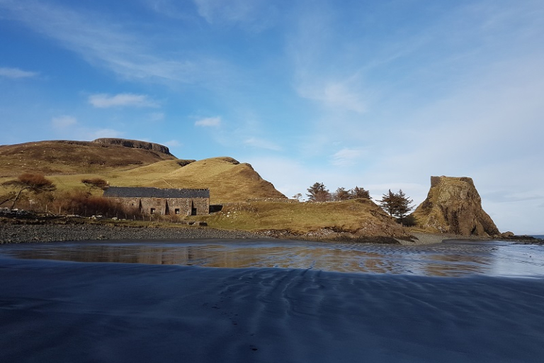
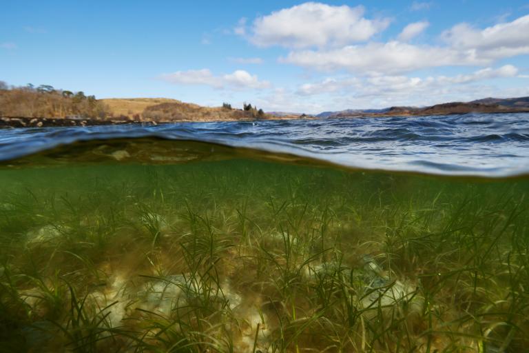
Please note that foreshore and seabed have different definitions with Crown Estate Scotland:
Foreshore = between Mean High Water Spring (MHWS) and Mean Low Water Spring (MLWS).
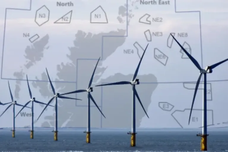
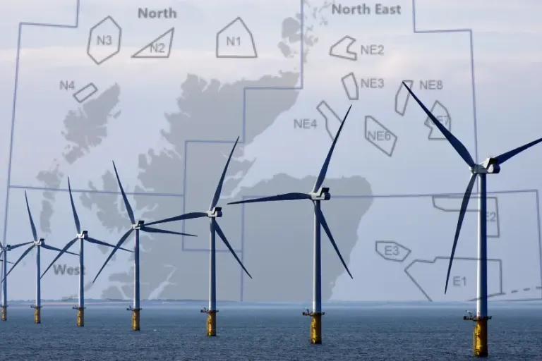
Seabed = is from the foreshore limit and out to 12 nautical miles (up to 200 nautical miles for renewable energies and cables relating to these sites).